
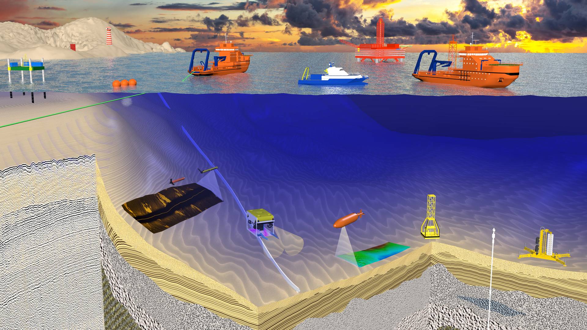
Geotechnical drilling
To drill geotechnical and pilot wells to a depth of 800 m we use a mobile stand-alone drilling rig ARB20-18, that can also test soils (sampling diameter to 107 mm) and perform downhole CPT.

Soil sampling
To carry out geotechnical and geochemical studies of the sedimentary cover to a depth of 20 m, we use in-house GeoMarine gravity-piston and vibro-corers with a proven efficiency at a depth of 2500 m. For specialized samples at greater depths, an ROV is used.

Cone-penetration testing
Reliable real-time data about the soils properties in situ can be obtained by static probing undertaken by deep-water seabed testing instruments. Downhole CPT carried out by the drilling rig ARB20-18 makes it possible to study the properties of soils at greater depths.

Lab tests
To obtain the most accurate data about the soils in their natural occurrence, we can perform on-site tests of the physical parameters of the samples in the shipboard laboratory. Further detailed tests are carried out in specialized onshore laboratories.

2D/3D HR and UHR seismic surveys
We perform both standard profile-based observations in all frequency ranges and 3D high-resolution surveys innovative techniques. The use of 3D techniques makes it possible to obtain a seismic image of the geological setting with a resolution of 0.5 m.

Side-scan sonar surveys
Acoustic image of the seabed surface is obtained by dual-frequency sonars, towed behind a research vessel. At deep water surveys, we use ROV and AUV mounted side & sector scanning sonars.

Magnetic survey
For the search and detection of industrial targets and UXOs on the seabed and in the upper part of the sedimentary cover we use towed magnetometers based on the Overhauser effect and multichannel fluxgate magnetometers for detailed ROV surveys.

Bathymetric surveys
The company has experience in conducting multi-beam echosounding both in shallow water from a support vessel and at depths to 2500 m using ROVs and AUVs. Application of up-to-date high-precision equipment combined with quality control at each stage of the surveys ensures that reliable data are obtained.

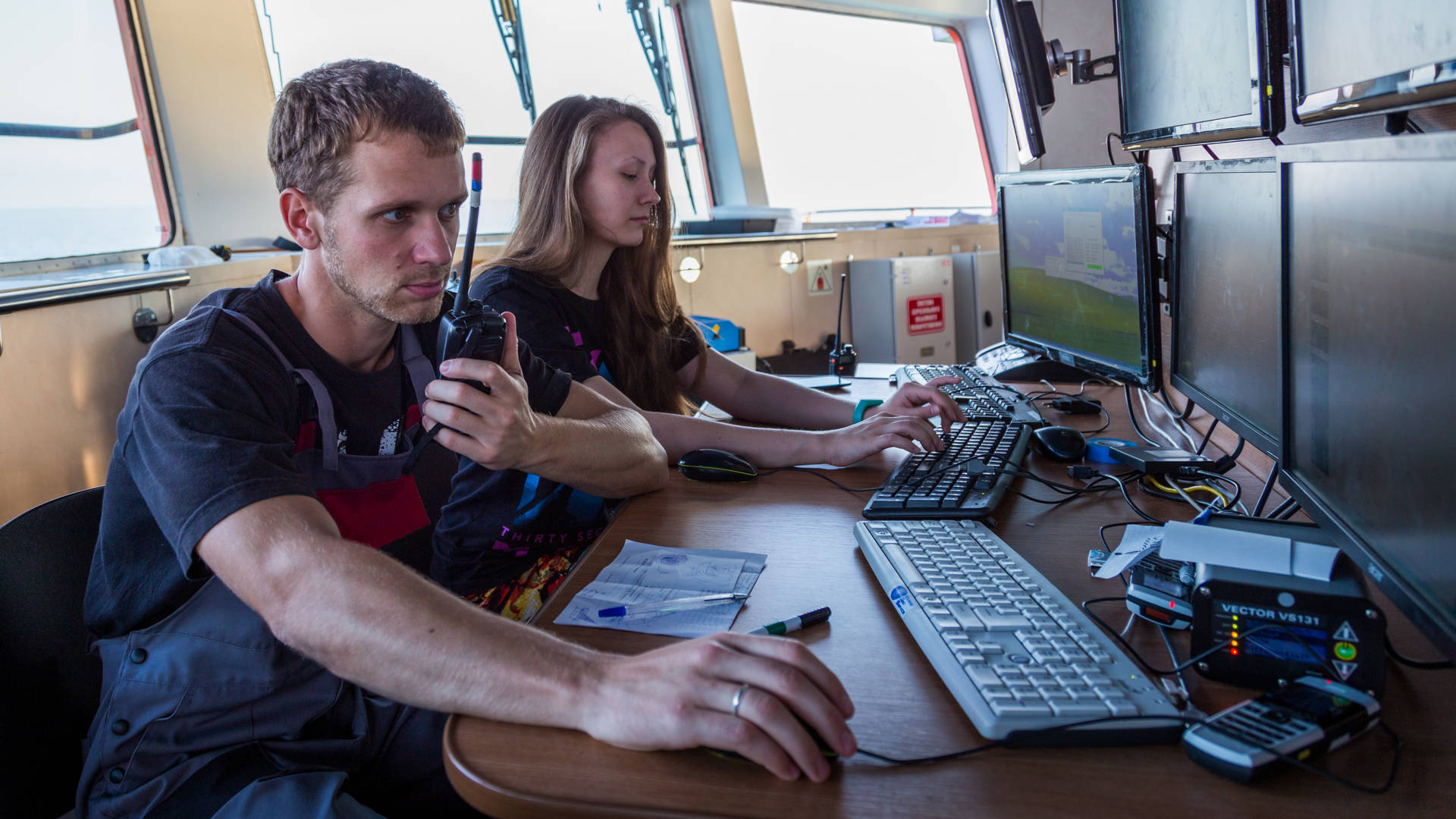
Data analysis
The quality of the obtained data is an important issue, therefore all surveys are accompanied by on-site QC. If necessary, simultaneously with data collection we can perform a shipboard data processing and interpretation, if necessary post-cruise analysis and summation can be undertaken.

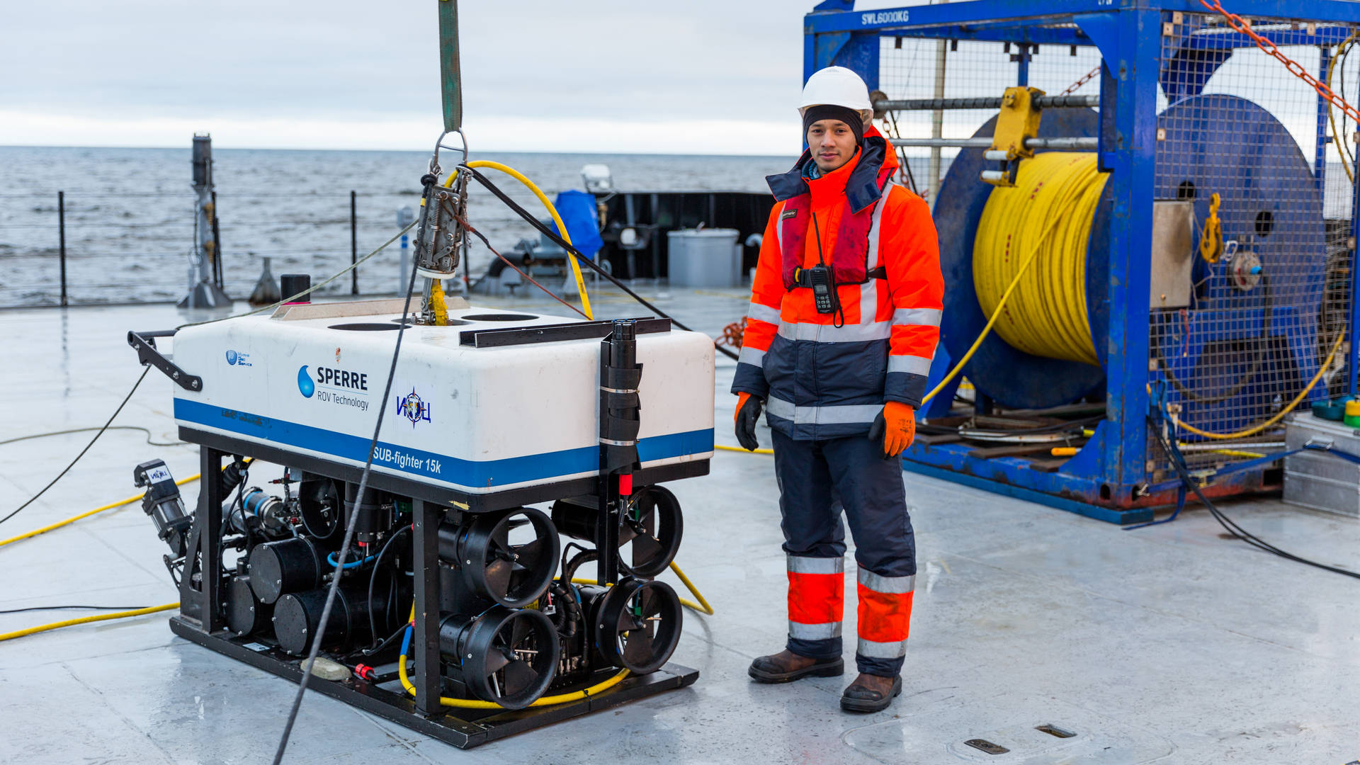
ROV surveys
We carry out the whole range of ROV and AUV operations at depths to 3000 meters: visual inspection and identification of targets, drilling support, pipeline inspection, monitoring of wellhead state, UXO surveys and support of munition clearance.